Public Meeting Presentation
U²C Phase II – Skyway Rehabilitation & Downtown Service Expansion PD&E Study
Watch the public meeting presentation that was displayed at the public meetings.

Quick Access
Have questions or need help planning your trip? Reach out to us for fast and dependable assistance.
View all of the current detours in effect for our bus routes.
Stay updated with the latest service changes, enhancements, and interruptions.
Explore JTA's fixed-route bus services with detailed schedules and stops, ensuring reliable transportation across Jacksonville.
Discover JTA fare options and passes, including discounts for seniors, students, and frequent riders.
Join our diverse team, enjoy competitive benefits, and contribute to Jacksonville’s transportation future.

Discover a world of transit options that adapt to your life—not the other way around.
Explore JTA's fixed-route bus services with detailed schedules and stops, ensuring reliable transportation across Jacksonville.
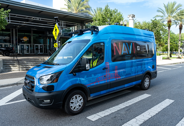
NAVI will be the first fully autonomous public transportation system network in the United States.
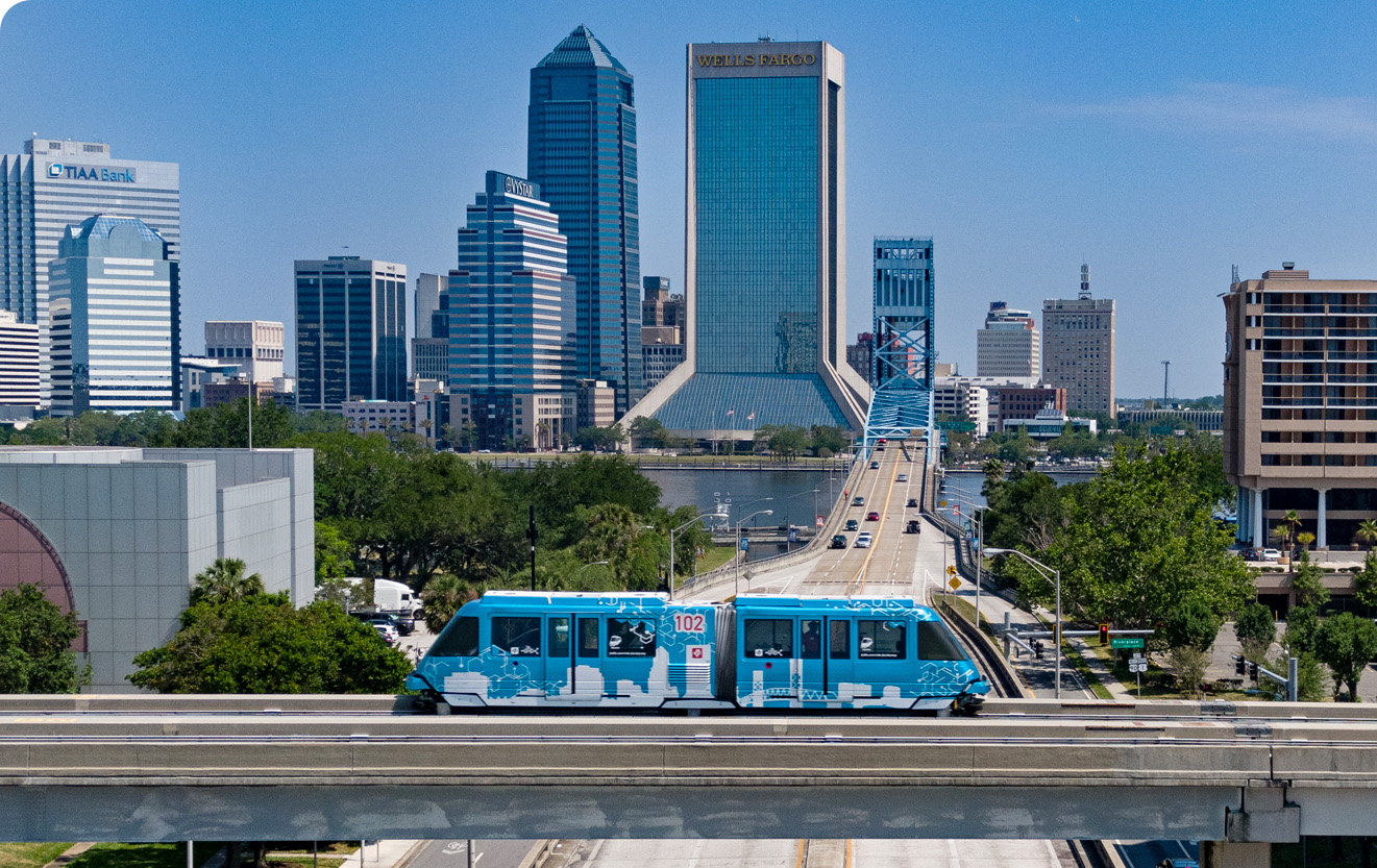
A free, automated monorail connecting downtown Jacksonville.
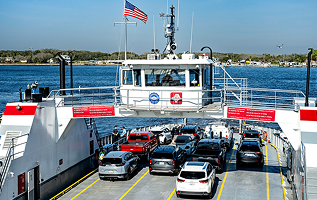
Reliable ferry service across the St. Johns River.
Accessible transportation for individuals with disabilities.
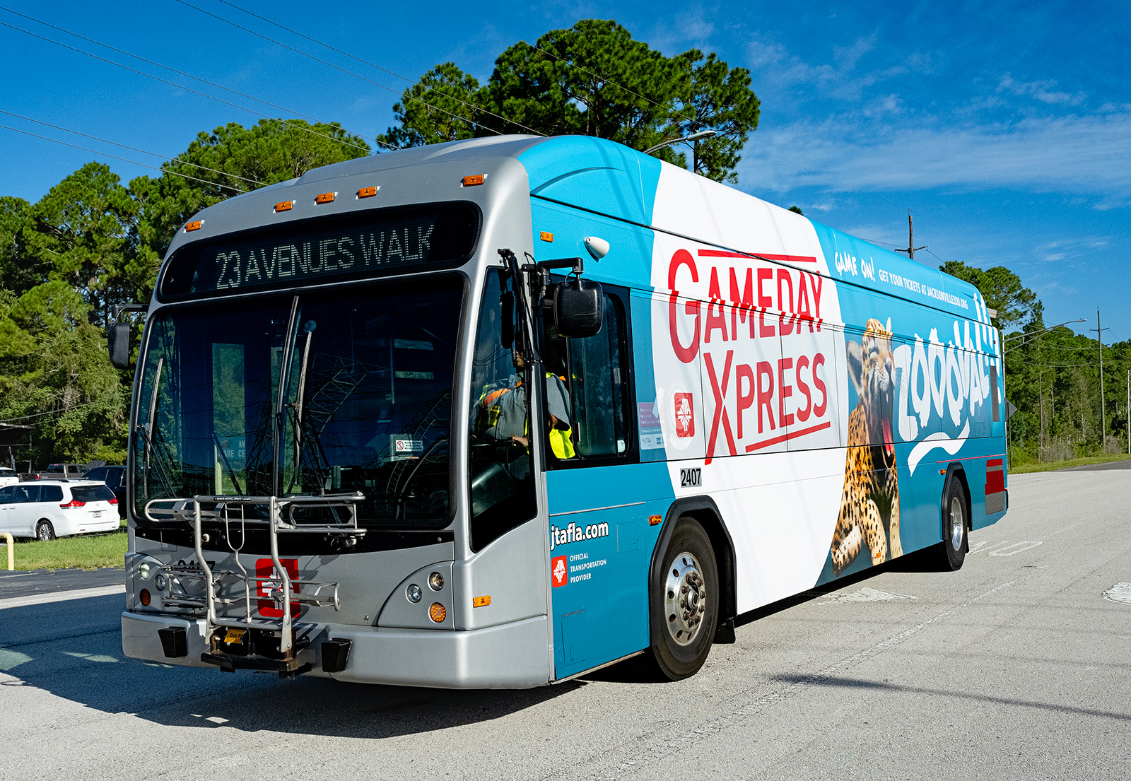
Round trip transportation from our secure lots to and from EverBank Stadium quickly, easily, and affordably!
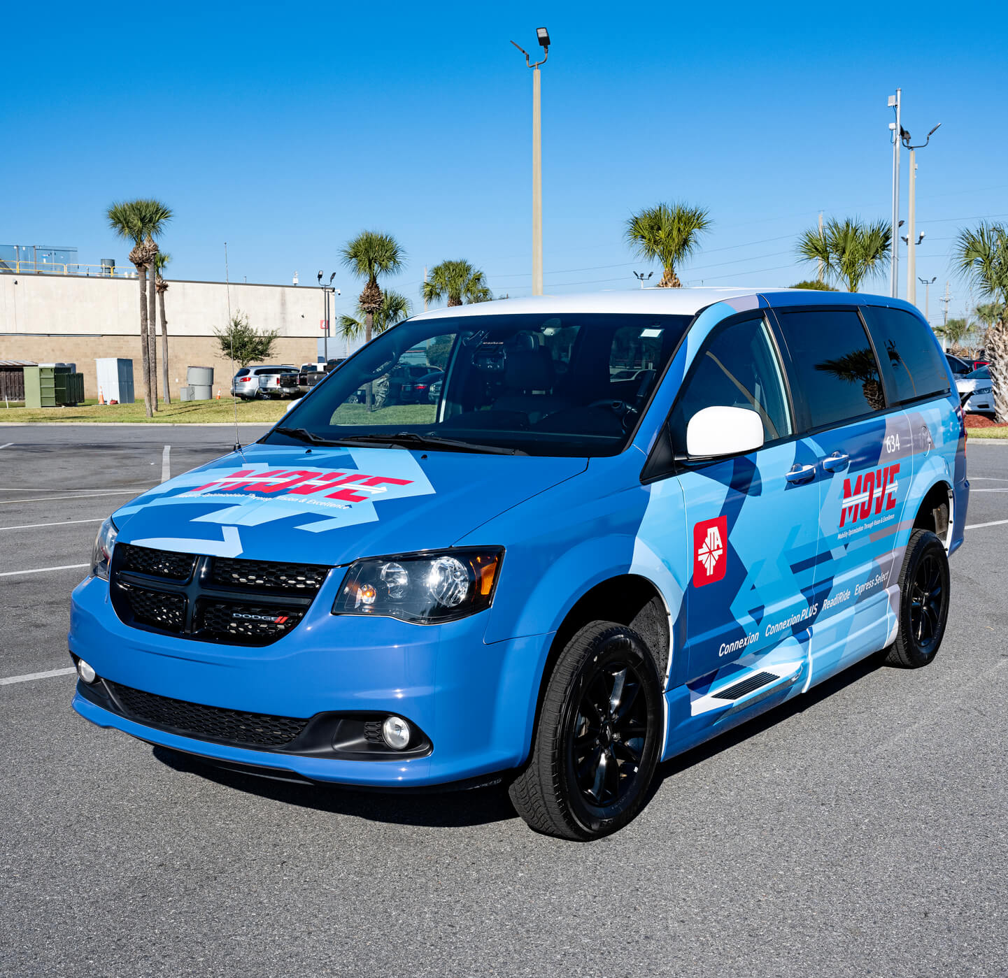
ReadiRide is the JTA’s phone-bookable shuttle service, offering door-to-door rides in 14 Jacksonville neighborhoods.
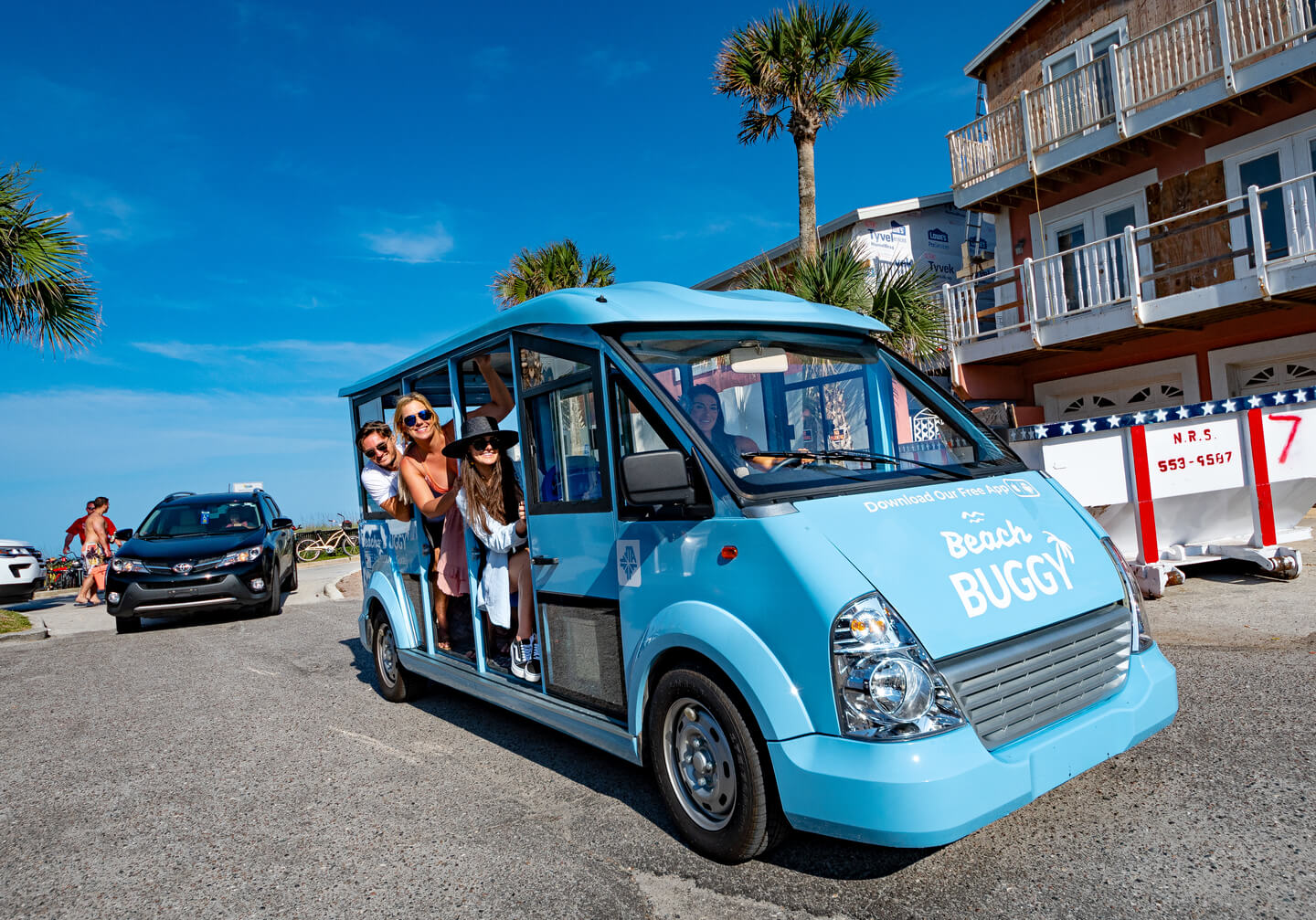
Flexible, real-time ride requests within Jacksonville.
Explore everything you need for a smooth, safe, and convenient ride with JTA.

Plan your trip with real-time updates and easy route options.
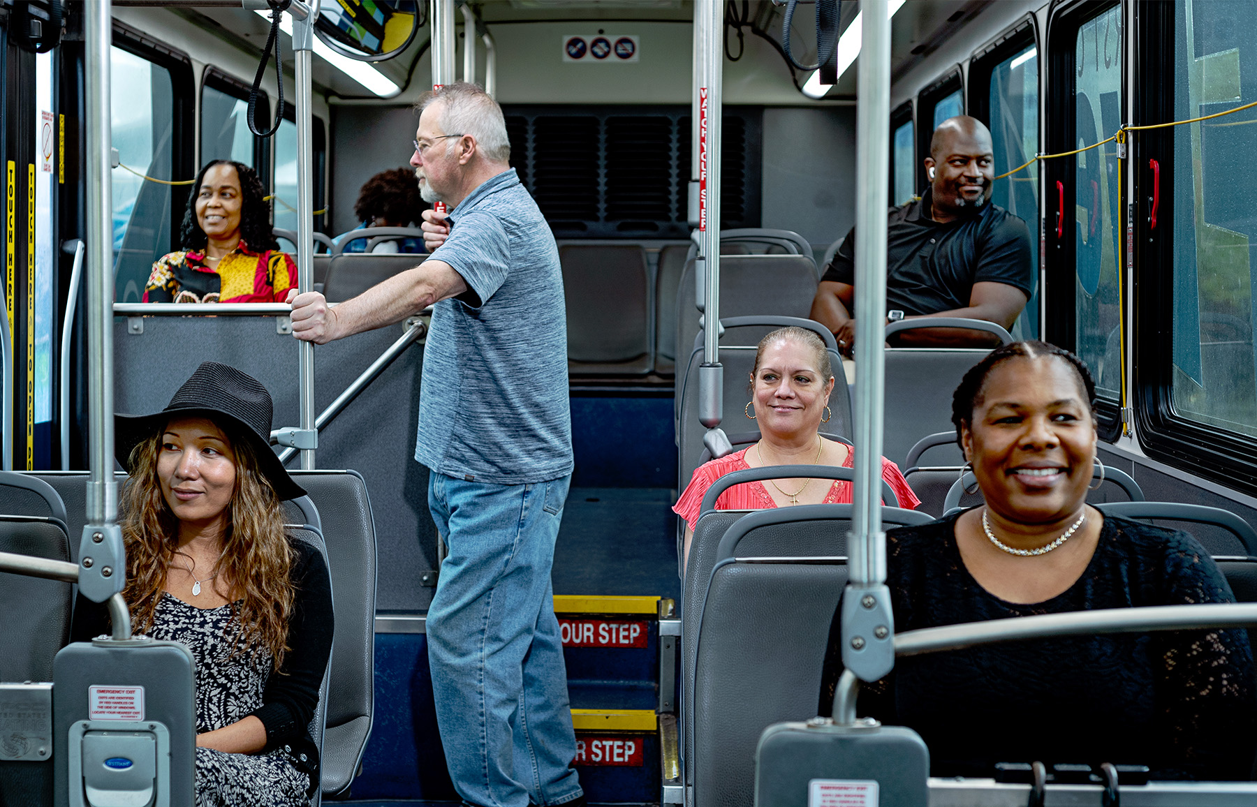
All customers are required to understand the Code of Conduct for Transit Customers to ensure that all JTA customers enjoy a comfortable ride.

Stay informed with real-time weather updates affecting JTA services.
View all of the current detours in effect for our bus routes.
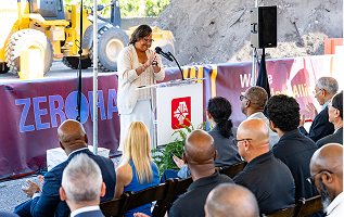
Dive into our initiatives driving innovation and progress.
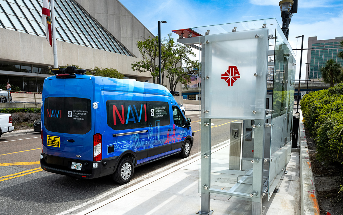
Learn all about the future of transportation in Jacksonville.
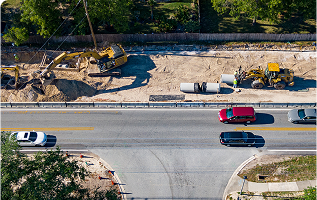
$490 million dollars invested in our community over 30 years.
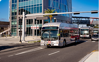
We are at the forefront of shaping the future of mobility in Northeast Florida.
Keeping The Public Informed About Official Board Actions and Notices
Stay informed about JTA's public hearings and important updates on policies, projects, and community involvement.

Access financial reports and submit public records requests to promote transparency and accountability.

Meet the leadership driving JTA's mission to improve mobility and transportation across Jacksonville.
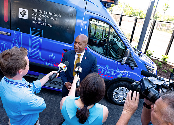
Get the latest news, events, and media coverage from JTA.
Explore career opportunities at JTA and be part of Jacksonville's growing transportation future.
The JTA's Procurement department is responsible for the procurement of all commodities, services, professional services, real property, construction, and any other goods or services for the JTA.

Discover business opportunities with JTA to support Jacksonville's transit development.
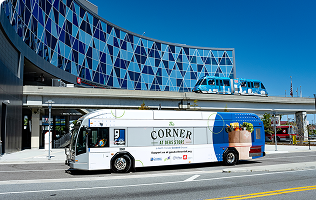
Advertise on JTA's buses, trains, and digital platforms to reach thousands daily.

The Ultimate Urban Circulator Program, or the U²C Program, is the JTA’s plan to modernize the Skyway and connect the neighborhoods across downtown and nearby neighborhoods. Developed in three phases, the program is currently in Phase II, where we consider downtown service expansion. The Project Development and Environment (PD&E) study, where we look at options, or “alternatives,” to improve the system is now under development. Six “Build” alternatives plus a “No Build” option are being considered (see details inside). With your input, we will identify a Preferred Alternative to recommend to the JTA Board later this year.
Status: Completed
Phase I: Established The Neighborhood Autonomous Vehicle Innovation (NAVI) service, running from Central Station to the Sports and Entertainment District, including EverBank Stadium.
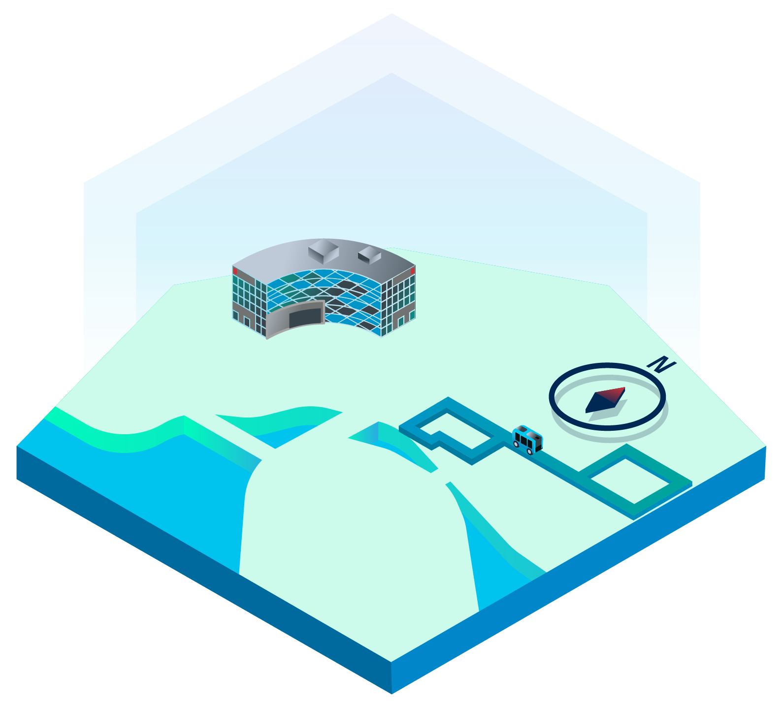
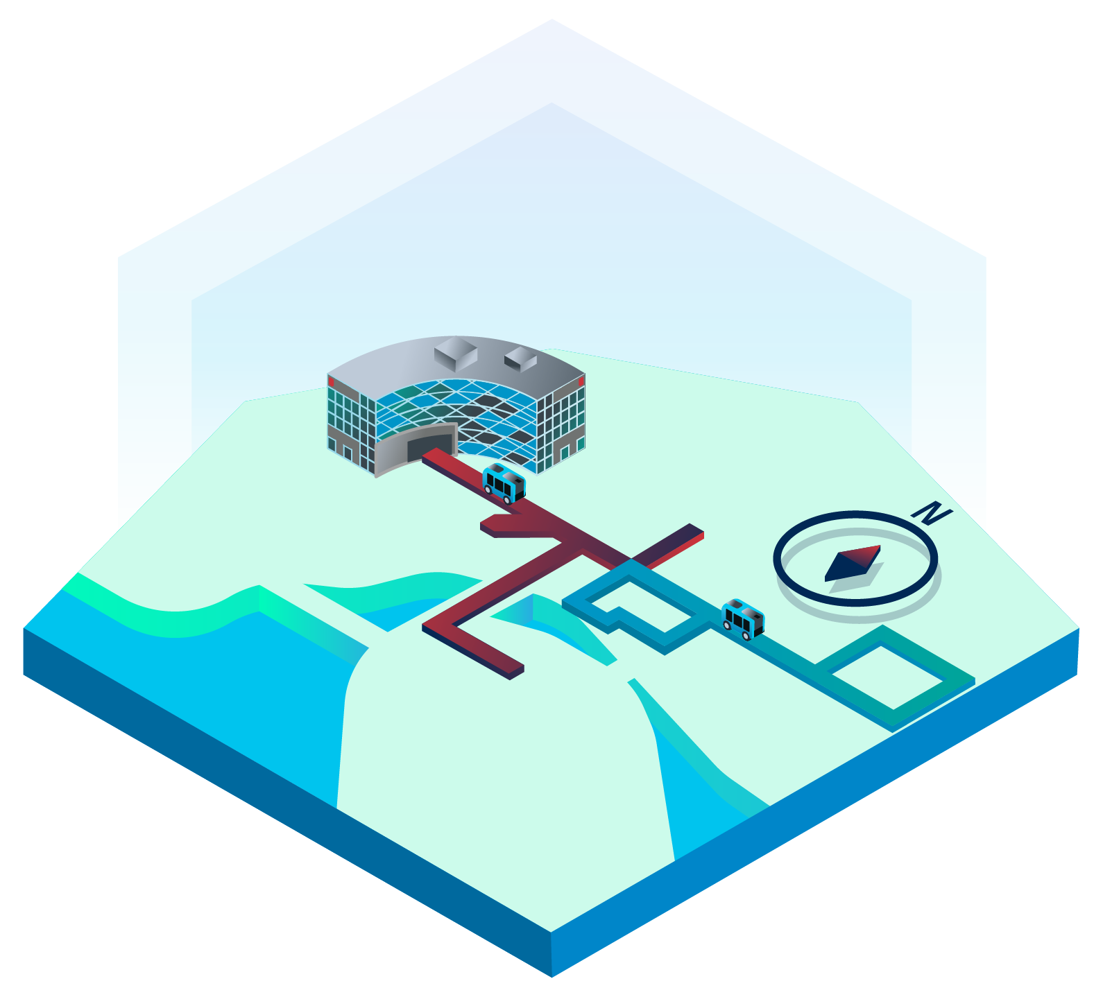
WE ARE HERE!
Status: Project Development and Environment (PD&E) Completion Date: August 2026
Phase II: The current U²C Program phase, looks at options for the Skyway and its eight stations as the existing system reaches end of life.
Status: Project Planning Completion Date: Late 2026
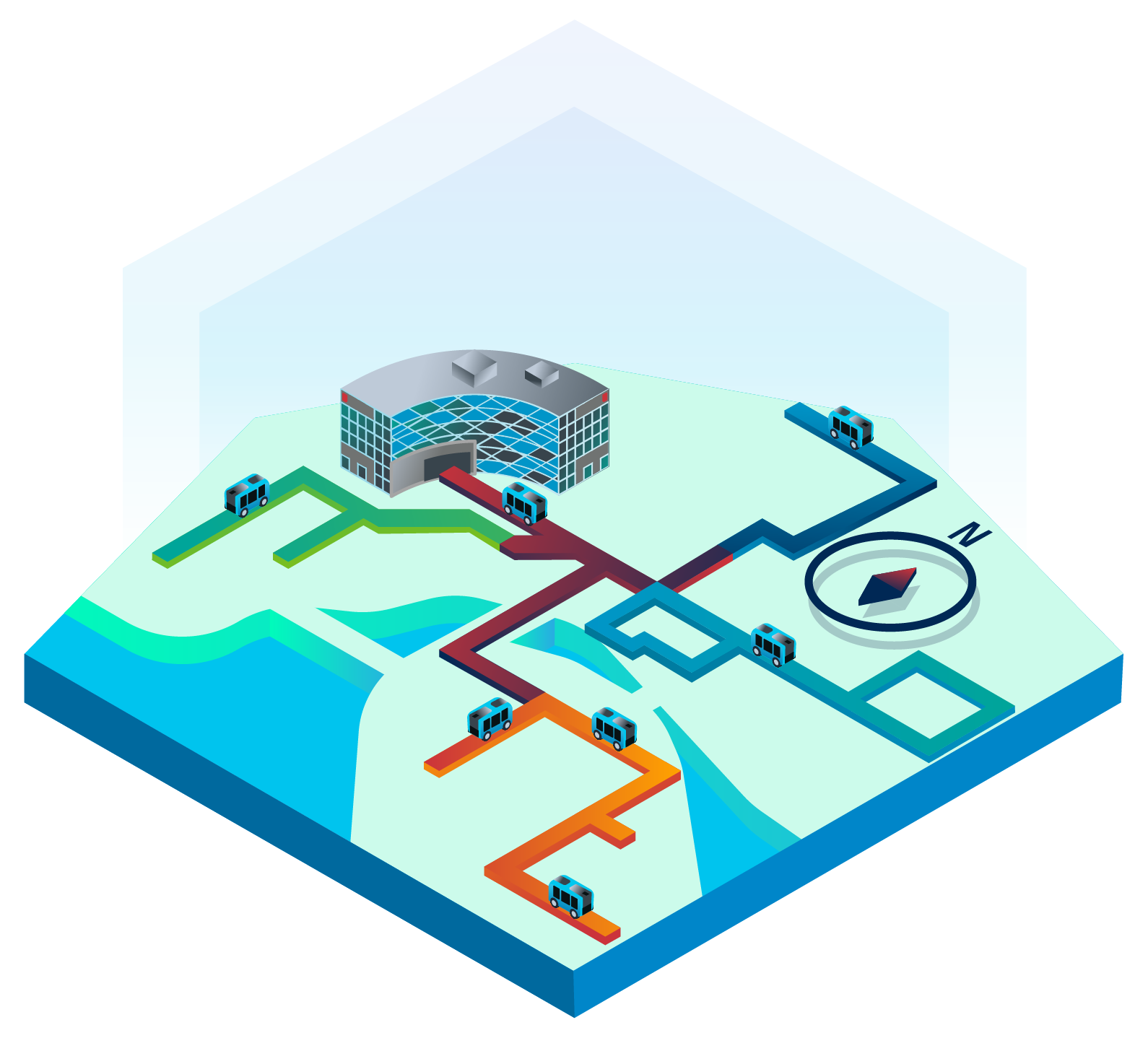
Phase III: Includes the expansion of the operational footprint of the current Skyway to a larger, more connected system through at-grade neighborhood extensions.
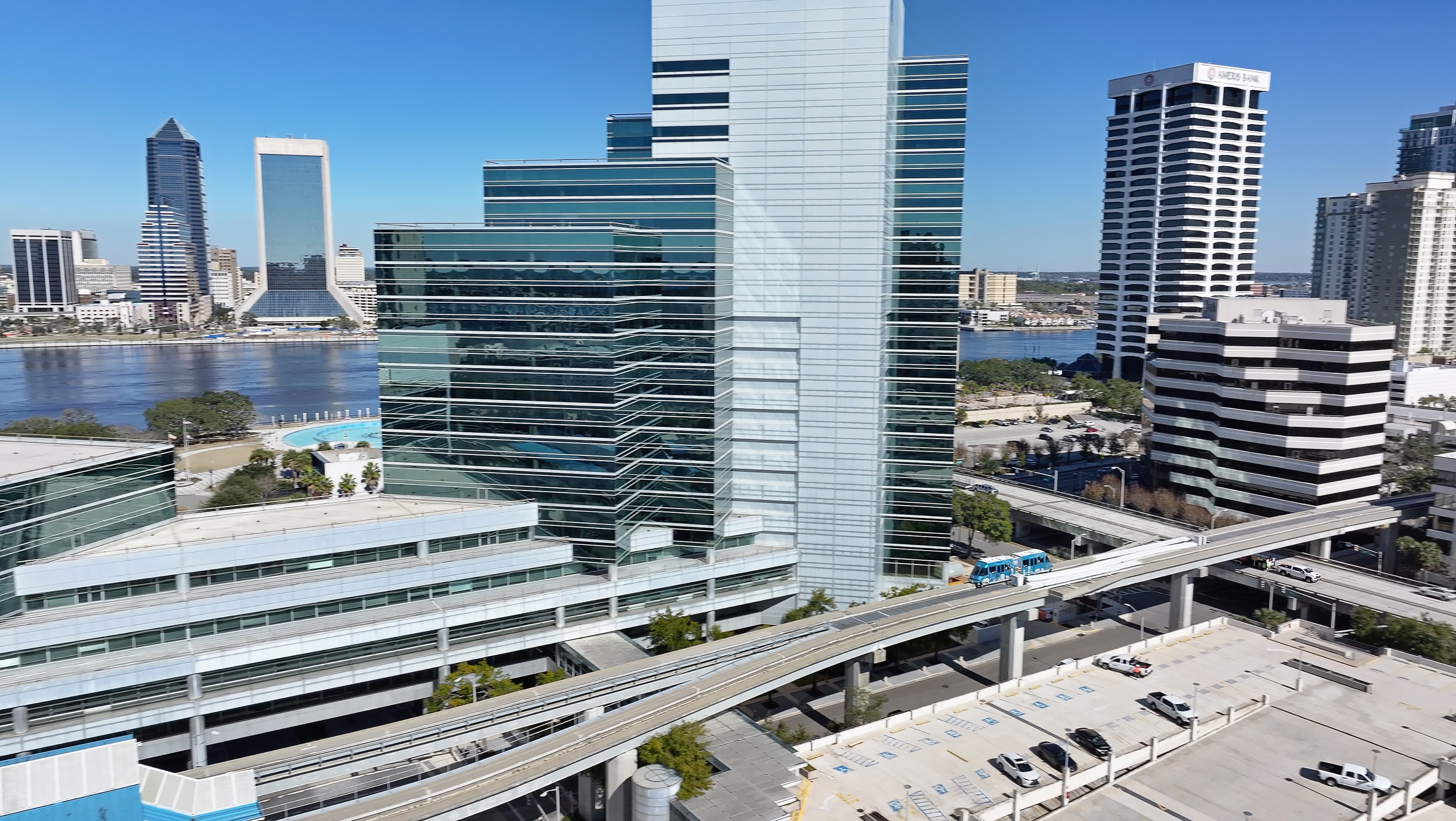
The No Build option keeps the Skyway system operating as it does today with the last two remaining vehicles. The existing track, vehicles, and automated train control system remain in use with required track repairs to maintain basic service for as long as possible.
Continues current operations with minimal disruption
System nearing end of life
Ongoing repairs required
Planning level cost estimate: $15 million
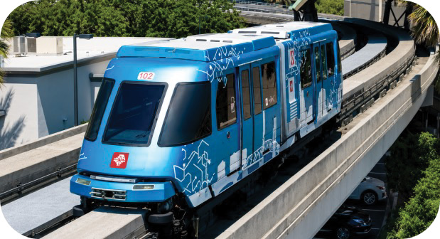
Alternative 1 keeps the Skyway system operating as it does today with a rehabilitated vehicle fleet of up to 10 cars. The existing track remains in use with a new automated train control system. Repairs will be made to the existing track to maintain current service. This investment improves system efficiency and overall passenger experience.
Headways up to 10 minutes or better
2-3 years of construction
Provides limited connectivity or support for future growth
Planning level cost estimate: $276 million
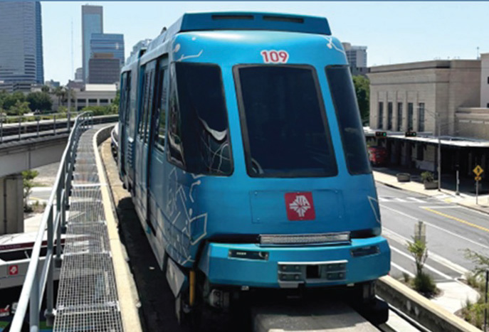
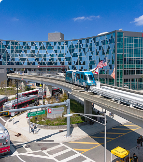
Alternative 2 replaces the current Skyway system with a new fleet of APM trains comparable to those deployed at U.S. airports. This alternative represents a full system modernization with new trains on the existing Skyway infrastructure, plus a new Brooklyn Station. It improves rider experience by providing a reliable, modern system.
Headways up to 10 minutes or better
3-4 years of construction
Provides additional connectivity with limited support for growth
Planning level cost estimate: $428 million
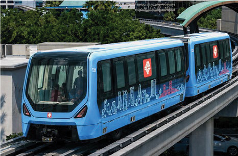
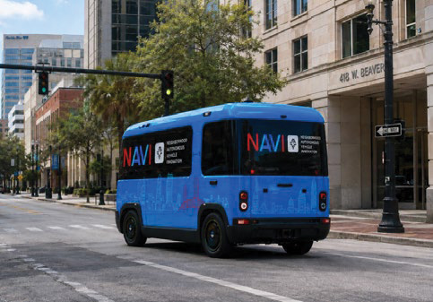
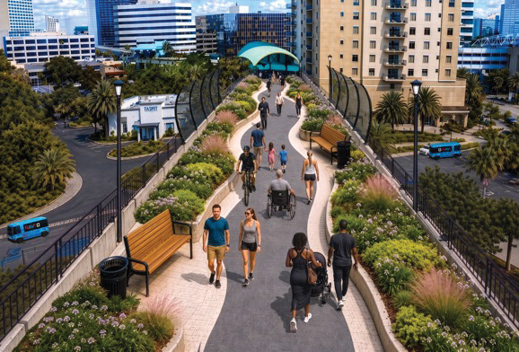
Alternative 3 converts the Skyway guideway to a dedicated roadway for current and future AVs. New ramp connections will be provided to existing streets at Rosa Parks, Kings Avenue, and Leila Street in the Brooklyn area to allow AVs to travel beyond the downtown urban core.
Headways up to 5 minutes or better
3-4 years of construction
Expands neighborhood connectivity
Planning level cost estimate: $294 million
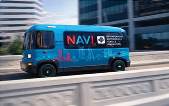
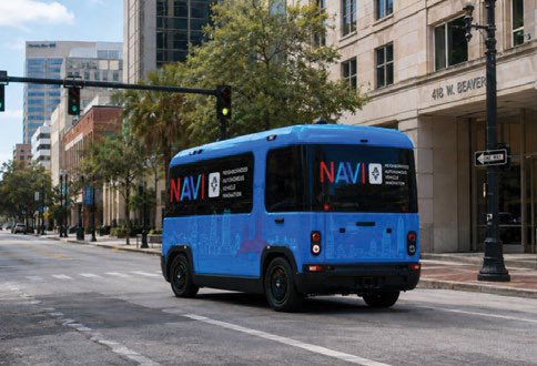
Alternative 4 removes the existing elevated Skyway and stations entirely, and 17 street-level stops will be constructed. AVs operate on existing downtown streets, converting service entirely to the roadway network. Key intersections along the corridor will be upgraded to incorporate transit signal priority. See the back for a map of the proposed AV route.
Headways up to 5 minutes or better
Use of dedicated lanes where feasible
Deployment of AVs independent of construction
2-3 years of construction
Provides flexibility for growth
Planning level cost estimate: $152 million
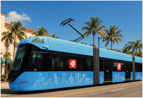
Alternative 6 replaces the Skyway system with a streetcar system at street level with 12 stations. The vehicle fleet consists of up to 12 streetcars. Key intersections will be upgraded to incorporate transit signal priority. This option supports transit-oriented development opportunities. See the back for a map of the proposed streetcar route.
Headways up to 10 minutes or better
4 years of construction
Provides flexibility for growth
Unknown Costs to Retrofit the Elevated Structure and for Dedicated Lanes
Planning level cost estimate: $565 million
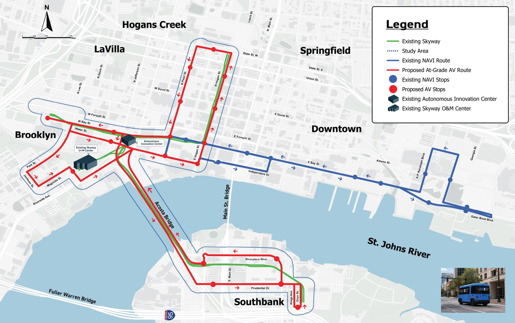
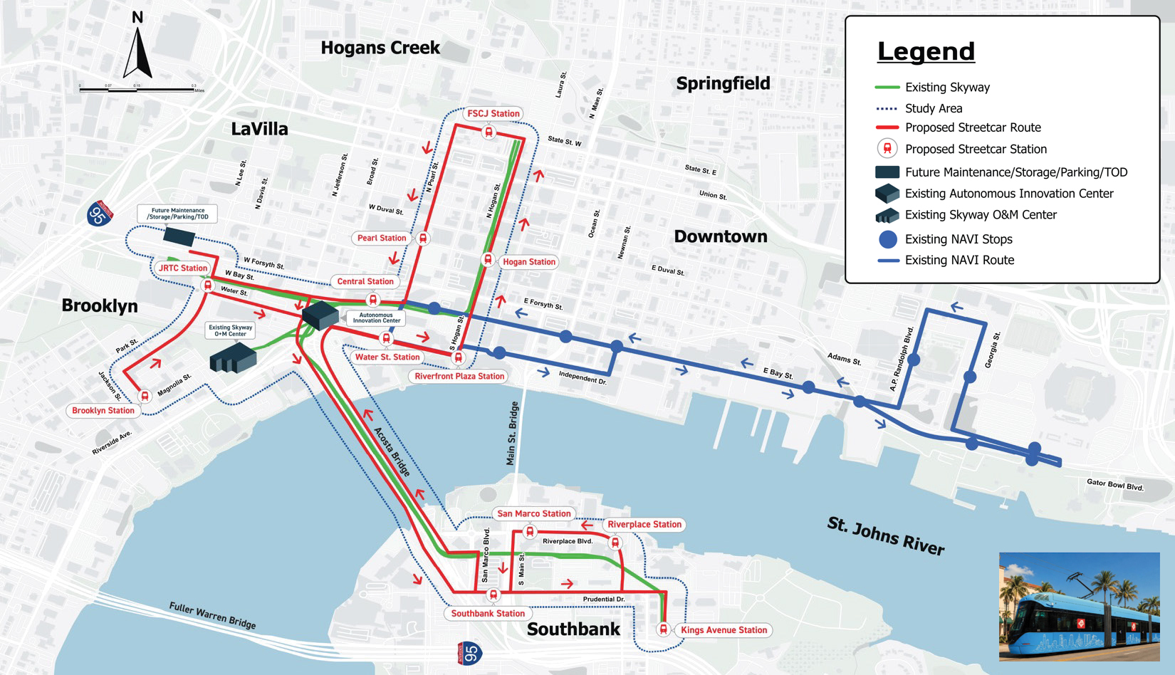
A PD&E study is an environmental and engineering process that was developed by the Florida Department of Transportation (FDOT) in response to the National Environmental Policy Act (NEPA) of 1969. The process ensures that transportation projects are developed with consideration of current engineering standards, project costs, and minimization of social and environmental impacts, while involving the public throughout the entire study process.
The current Skyway system is over 35 years old and requires modernization to continue serving Jacksonville. This study evaluates how to rehabilitate the existing infrastructure while expanding service to meet downtown’s growing needs. We are evaluating “Build” alternatives against a “No Build” option to find the most cost-effective and impactful solution. With your input throughout the process, we will identify a Preferred Alternative to recommend to the JTA Board.
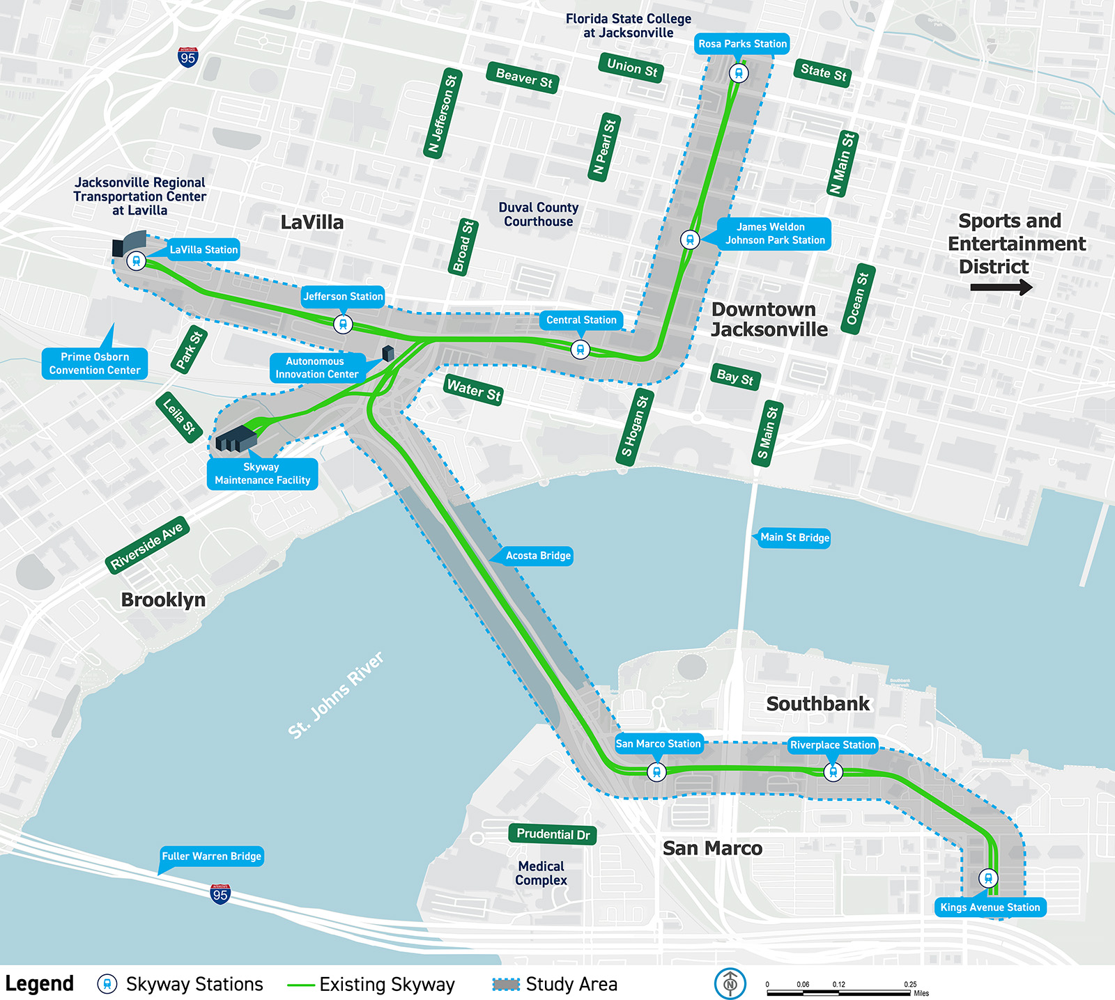
The project spans the full 2.5-mile extent of the current Skyway. To account for environmental considerations, future expansion, and multimodal integration the study area includes a 200-foot buffer zone measured from the centerline of the existing guideway.