









Office of Planning and Project Development
The Office of Planning & Project Development plays a pivotal role in shaping the region's transportation landscape. This office is responsible for developing comprehensive long-term mobility strategies and ensuring alignment with regional growth objectives. Through strategic planning, data-driven analysis, and collaborative partnerships, the office guides investments and projects that enhance mobility, safety, and quality of life across the region.

Key Responsibilities
Long-Range Planning
Develop and implement comprehensive transportation plans to meet future mobility needs, ensuring alignment with regional growth.
Strategic Planning
Guide the organization's direction through the development of strategic plans that align with JTA's mission and respond to emerging transportation trends and innovations.
Regional Planning
Collaborate with regional partners to ensure cohesive transportation networks that effectively serve Northeast Florida's communities; Leads the coordination of the Regional Transit Working Group.
Community & Neighborhood Mobility Planning
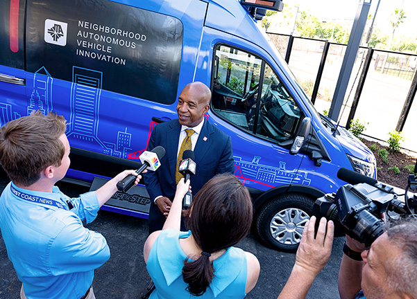
Design and implement multimodal transportation strategies at the neighborhood scale, integrating transit, pedestrian, bicycle, and micro-mobility improvements with safety enhancements to create connected, livable, and resilient communities.
Active Transportation
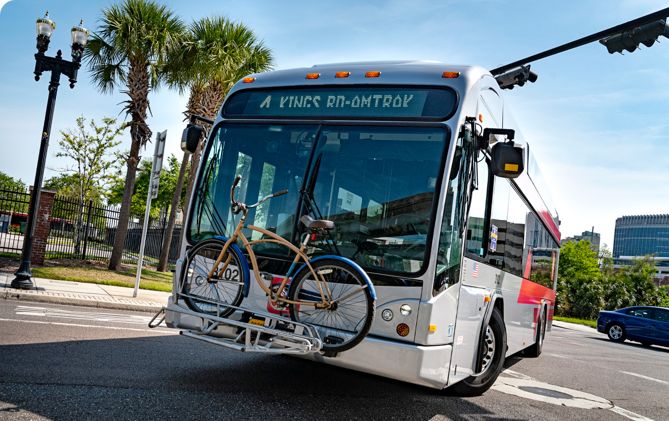
Advance walking, biking, and micro-mobility infrastructure through planning, design, and partnerships, promoting safe and accessible travel options that encourage healthy lifestyles.
Discretionary Grants
Identify and secure funding opportunities through grants to support JTA's projects and initiatives.
GIS and Travel Demand Modeling
Utilize Geographic Information Systems and travel demand modeling to analyze data, forecast transportation needs, and support informed decision-making.
Project Development & Environment (PD&E)
Conduct studies to assess the feasibility and environmental impact of proposed transportation projects, ensuring compliance with regulatory requirements.
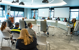
Metropolitan Planning Process
Engage in the metropolitan planning process to integrate JTA's projects into regional transportation plans and ensure alignment with broader objectives.
National Environmental Policy Act (NEPA) Compliance
Ensure all projects adhere to NEPA guidelines by assessing environmental impacts and implementing necessary mitigation strategies.
Current Projects and Initiatives
Special Plans and Initiatives
Mobility Visioning Plan 2050
The Mobility Visioning Plan 2050 is a comprehensive effort to reimagine Jacksonville’s transportation future. Designed to address challenges such as congestion, limited transit options, and gaps in pedestrian and bicycle infrastructure, the plan will shape land use and density patterns alongside mobility to proactively guide the development of a safe, connected, and accessible network for all residents.
JTA Research Lab
The JTA Research Lab is a collaborative initiative that partners with university faculty and their student research teams to conduct original, publishable research aimed at improving public transportation services, informing agency decision-making, and advancing the broader field of transit innovation. JTA provides selected university partners with funding and access to relevant operational data and staff insights, empowering the research teams to conduct independent, academically rigorous analysis.
Reoccurring Studies
2025 Transit Development Plan (TDP) Major Update
The 2025 TDP Major Update serves as a strategic blueprint for guiding public transportation investments and service enhancements over the next ten years. Developed in compliance with Florida Department of Transportation (FDOT) requirements, the plan outlines the Jacksonville Transportation Authority’s (JTA) vision, goals, and implementation strategies to meet the region’s evolving mobility needs.
2024 Coordinated Mobility Plan
The 2024 Coordinated Mobility Plan identifies the transportation needs of people with disabilities, older adults, and low-income people in Northeast Florida and provides strategies to meet those needs. It is intended to serve as a roadmap for transportation providers, human service agencies, and other organizations to use to improve mobility throughout the region. The Plan was developed through collaboration between JTA and several regional partners and transit service providers representing Duval, Baker, Clay, St. Johns, Nassau, and Putnam Counties.
Planning Studies
Phoenix Arts + Innovation District
The Phoenix Arts + Innovation District is an upcoming transit-oriented development situated just north of Jacksonville’s historic Springfield neighborhood. This collaboration between PHXJAX and JTA will bring new life to the area, including a mix of arts space, retail, restauraunts, and multifamily housing while enhancing transit access and walkability. The associated TOD Master Plan and Zoning Overlay shape the vision for the district and will ensure thoughtful, strategic growth that serves those who live, work, and create in the neighborhood.
Creating Safe Spaces Action Plan
The Creating Safe Spaces Action Plan is a transit-focused Vision Zero initiative aimed at eliminating traffic-related fatalities and severe injuries while enhancing safe and convenient access to transit. The plan leverages safety data analysis, community engagement, and interagency collaboration to identify and address high-crash locations impacting pedestrians, bicyclists, motorists, and motorcyclists.
Resources & Documents
Links to completed reports/studies
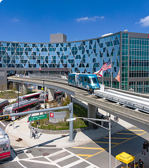
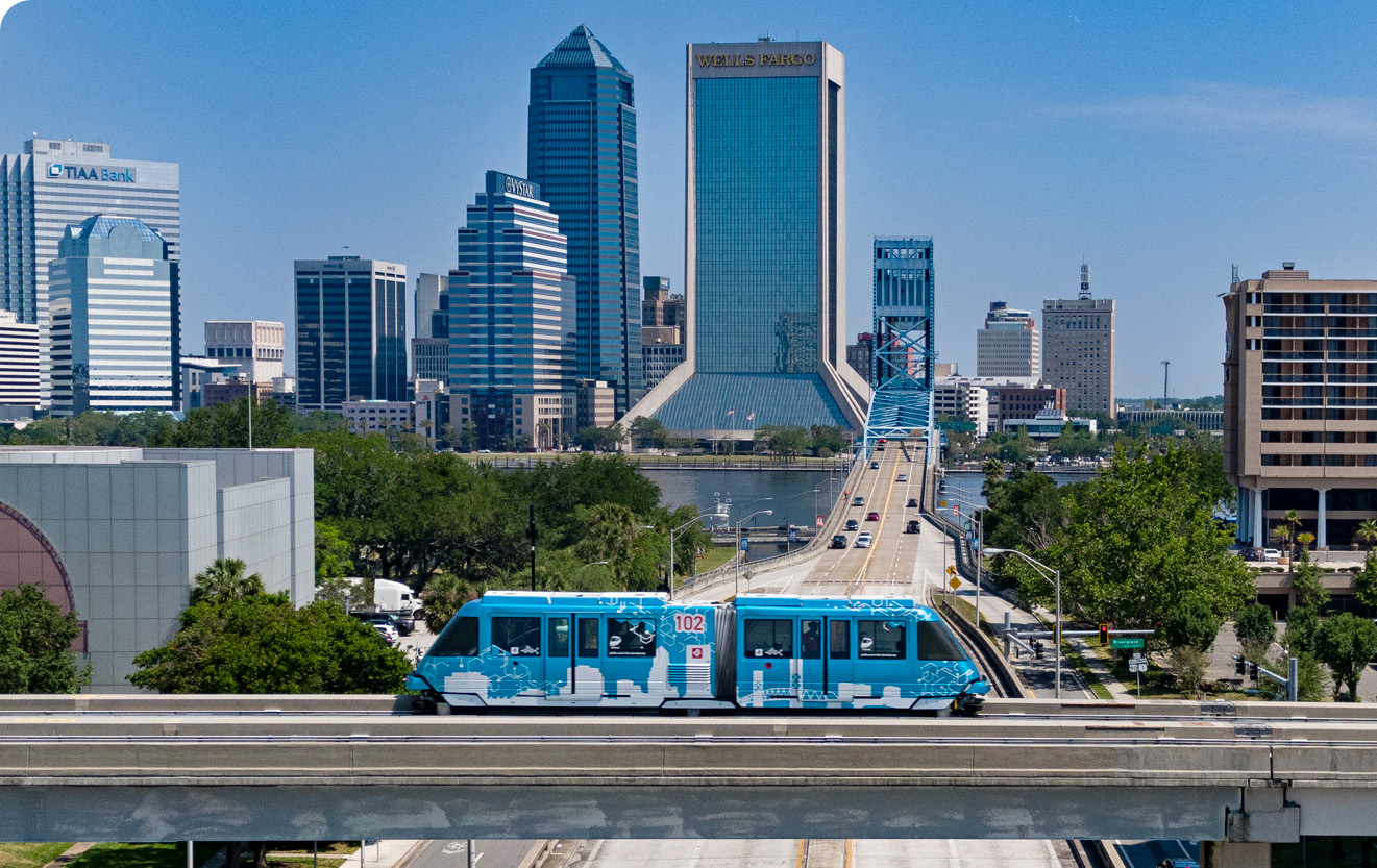
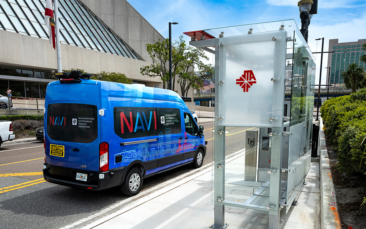
JTA's Transit Concept and Alternatives Review (TCAR) Phase I and Phase II reports for the Ultimate Urban Circulator (U2C) Program provide the foundational planning and analysis for modernizing Jacksonville’s Skyway into an autonomous vehicle network.
The Mobility Access Program (MAP) serves as guidance for the planning, design, and construction of transit stops, facilities, and passenger amenities throughout the JTA’s transportation system.
The Clay and Nassau Transit Studies developed by the JTA in partnership with the respective Counties evaluated current and future mobility needs to guide the development of efficient and regionally connected transit services in each county.
JTA's 2021 Origin and Destination (O&D) Study analyzed regional travel behavior to better understand where, when, and how people travel within the JTA service area. Using on-board surveys and demographic analysis, the study captured detailed trip patterns for transit riders, including trip purposes, transfer activity, and connections to other modes of transportation.
JTA's Complete Streets Study established a framework for designing and retrofitting roadways to safely accommodate all users—pedestrians, bicyclists, transit riders, and motorists—regardless of age or ability. The study assessed existing street conditions, identified priority corridors, and developed design guidelines that integrate safety, accessibility, and multimodal connectivity into roadway projects.
Related Links

JTA ArcGIS Portal
PublicInput Engagement Hub
Links to regional partner organizations
Baker County Council on Aging (COA) – https://bakercoa.org/transportation
The Ride Solution (Putnam) – https://theridesolution.org
The Sunshine Bus Company (St. Johns) – https://sunshinebus.net
North Florida TPO - https://northfloridatpo.com
North Florida Regional Council – https://www.nefrc.org
FDOT - https://www.fdot.gov/home
Beaches Council on Aging - https://beachescoa.org/services
City of St. Augustine - https://www.citystaug.com
St. Johns County - https://www.sjcfl.us
Clay County - https://www.claycountygov.com
Blue Zones - https://bluezonesprojectjacksonville.com